|
| Ā |
 |
| Ā |
 |
|
| HISTORY
OF FORT TEJON |
| by
George Stammerjohan |
| Ā |
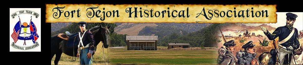
Fort
Tejon is located in the Grapevine Canyon,
the main route between California's great
central valley and Southern California. The
fort was established to protect and control
the Indians who were living on the Sebastian
Indians Reservation, and to protect both
the Indians and white settlers from raids
by the wide-ranging and rather warlike Paiutes,
Chemeheui, Mojave, and other Indian groups
of the desert regions to the south east.
Fort Tejon was first garrisoned by the United
States Army on August 10, 1854 and was abandoned
ten years later on September 11, 1864. |
| Ā |
The
Native Americans who lived in this area prior
to the establishment of Fort Tejon are generally
referred to as the Emigdiano. They were an
inland group of the Chumash people who lived
along the Santa Barbara channel coastline.
Unlike their coastal relatives, however,
the Emigdiano avoided contact with European
explorers and settlers, and were never brought
into one of the missions or even incorporated
into the Sebastian Indian Reservation. One
of their villages was located at Tecuya Creek,
north of Castac Lake. Another village, Sasau,
was on the north shore of the lake, while
a third and still larger village, Lapau,
was located at the bottom of Grapevine Canyon.
once Fort Tejon was established, the Emigdiano
often worked as independent contractors for
the army, providing guides for bear hunts
and delivering fresh fruits from their fields
for sale in officers row. |
|
|
| Ā |
In 1852,
President Millard Fillmore appointed Edward F. Beal
to the position of Superintendent of Indian Affairs
for California and Nevada, and sent him to California
to head off further confrontation between the Indians
and the many gold seekers and other settlers who
were the pouring into California. After studying
the situation, Beale decided that the best approach
was to set up a large Indian reservation at the southern
end of the San Joaquin Valley and to invite displaced
Indian groups to settle there. |
| Ā |
In order to implement
his plan, Beale requested a federal appropriation of
$500,000 and military support for the 75,000 acre reservation
he had selected at the foot of Tejon Pass. Colonel
Ethan Allen Hitchcock, commander of the Pacific Division
of the U.S. Army, supported Beale's plan and agreed
to set up a military post on or near the Indian reservation.
The army was eager, in any case, to abandon Fort Miller
(near Fresno) in favor of a more strategically advantageous
site in the southern San Joaquin Valley. |
| Ā |
In August 1854,
Major J.L. Donaldson, a quartermaster officer, chose
the present site in Canada de las Uvas. The site was
handsome and promised adequate wood and water, It was
just 17 miles southwest of the Sebastian Indian Reservation,
and it was right on what Major Donaldson was convinced
would become the main route between the central valley
and Southern California. |
| Ā |
 |
| Ā |
|
| Ā |
 |
| Ā |
| Enlisted
Mens Barracks |
| Ā |
 |
| Ā |
| Officers
Quarters |
| Ā |
 |
| Ā |
| Ā |
| Ā |
|
|